Press Releases
Curtis Announces Nonpartisan House GIS Working Group
Washington, DC,
November 14, 2019
Tags:
Tech & Internet
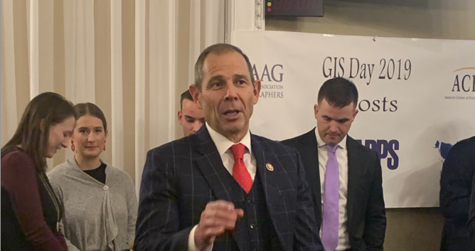
Yesterday, Representative John Curtis (R-UT), announced the creation of the House GIS (Geographic Information System) Working Group, a nonpartisan staff-led resource available for staff to learn about geospatial policy, how data is being used in the executive branch, and ways that each Congressional Office can use the technology.  “As geospatial data becomes more and more integral to the planning and decision-making process at almost every agency, Congress has an obligation to learn and understand this technology and how it is being used. I am excited to announce the House GIS Working Group, a nonpartisan staff-led resource available for staff to learn about geospatial policy and how data is being used in the federal government. I am looking forward to working with my colleagues, including Rep. Pete Aguilar who has also dedicated a staff member to co-lead this working group, to improve GIS policies and continue to learn how geospatial data is helping map our world.” Background:
### |

